
Together for avalanche monitoring

Odd Sverre Østlie of Cautus Geo and Anne Strømmen Lycke of NORSAR have signed the agreement.
11. October 2023
Written by Rino Andersen
Cautus Geo and NORSAR take avalanche monitoring to a new level. Monitoring with alerts on mountainsides is combined with fibre-optic monitoring and alerts along roads and railways.
Two Norwegian companies with world-leading technology are putting together a completely new system. The result is continuous and automatic monitoring of landslide-prone mountainsides in combination with fibre-optic monitoring of everything that moves on roads and railways. This means that large avalanche-prone stretches of several kilometres can be monitored. The system can warn and close traffic automatically.
The avalanche monitoring is combined with technology from Cautus Geo's various systems and NORSAR's fibre optic solution developed in collaboration with Norconsult and Alcatel Submarine Networks (ASN) Norway in a pilot project in Troms and Finnmark.
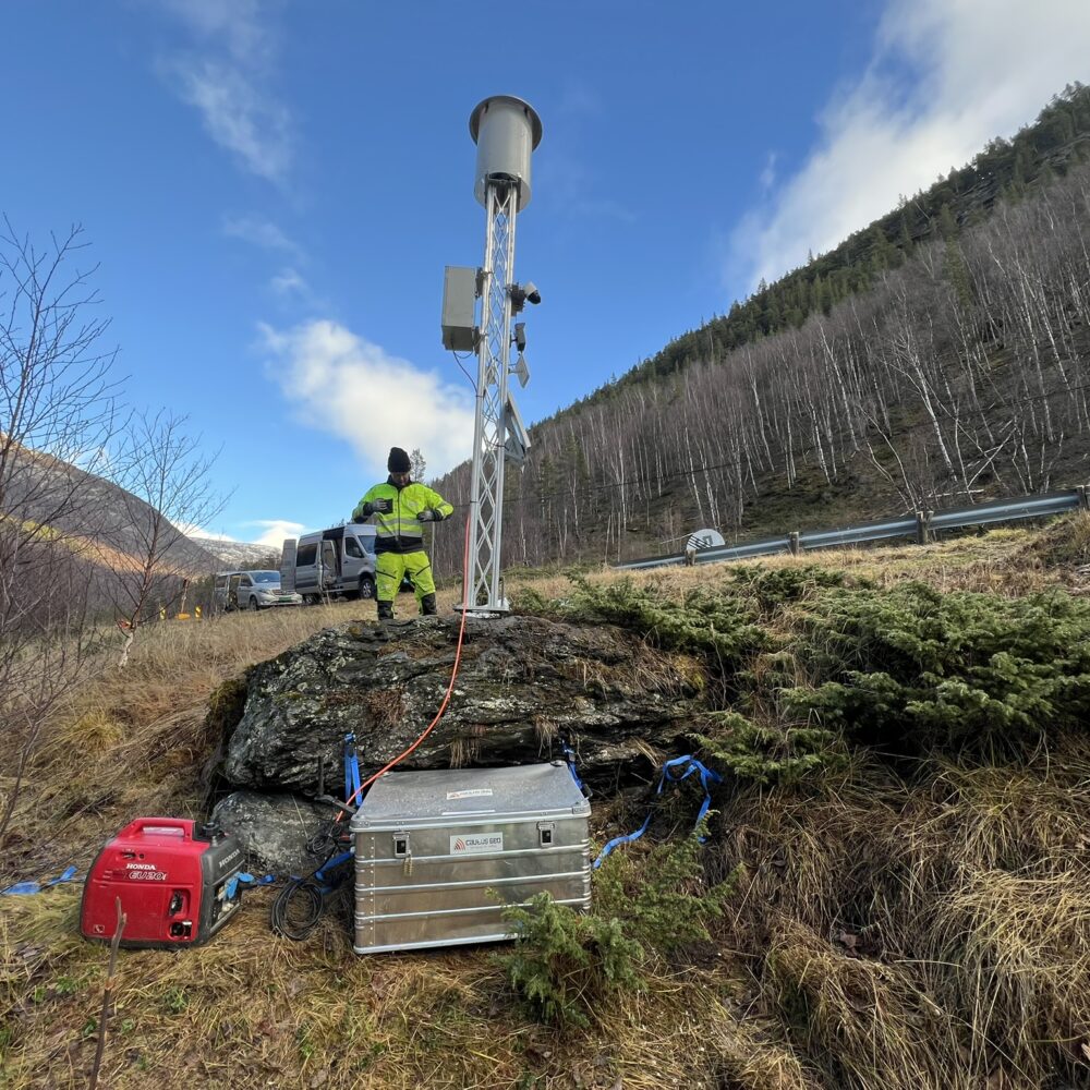
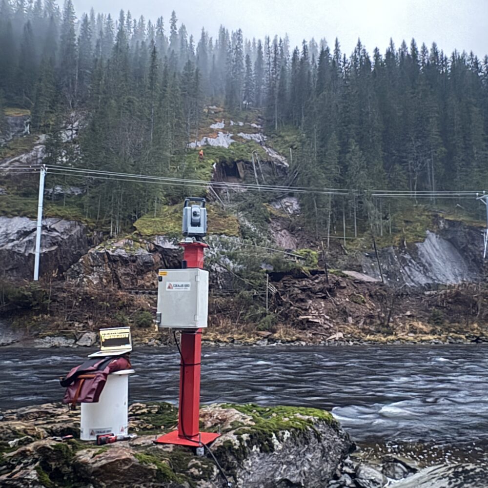
Cautus Geo has several different warning methods such as avalanche radar and a newly developed geophone-based system.
- The systems have been tested and proven. We know that they work. When we combine our systems with NORSAR's newly developed system, we can detect with a greater degree of certainty whether landslides reach roads and railways, even outside the most exposed landslide paths, and we can detect with certainty whether road users are in or about to enter a landslide area," says CTO Lars Krangnes of Cautus Geo.
NORSAR is a world-leading research foundation. Its core activities are in seismology and applied geophysics.
- "We're keen to ensure that new research can be utilised quickly. The agreement with Cautus Geo ensures this," says Anne Strømmen Lycke, CEO of NORSAR.
55 years of research
NORSAR has a 55-year history. It started as a Norwegian-American collaboration on listening stations and monitoring of nuclear tests. It is still a core area for NORSAR, which is the National Data Centre and monitors compliance with the Test Ban Treaty that prohibits nuclear testing.
NORSAR is recognised as a world-leading specialist in everything to do with earth tremors. Its technologies can be utilised for many socially beneficial purposes such as monitoring earthquakes, man-made tremors and securing CO2 store.
In the pilot project for Troms and Finnmark county councils, NORSAR has developed technology that can follow cars and cyclists on stretches of road for several kilometres. The technology can measure where road users are, how fast they are travelling and exactly where they are on a monitored stretch of road.
3000 landslides annually
The co-operation agreement between Cautus Geo and NORSAR has been signed by CEOs Odd Sverre Østlie and Anne Strømmen Lycke. It gives Cautus Geo the opportunity to use NORSAR's fibre-optic surveillance solution in its own systems, which can be based on radar, geophones and camera systems. In the event of a landslide, warnings and possible traffic closures are also triggered automatically.
In Norway, almost 3,000 landslides are recorded on 260 different road sections every year. In the main, everything goes smoothly, but between 5 and 15 are killed by avalanches each year. In the most serious accidents, lives are lost. Six stretches of road have so far been put on automatic and continuous monitoring.
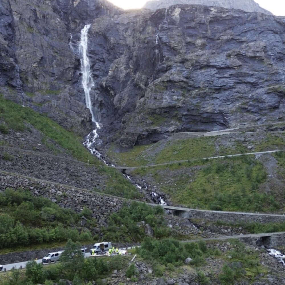
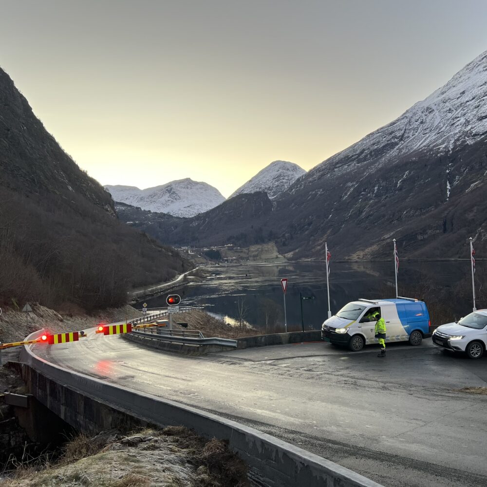
One of these is County Road 51 in Lom. Cautus Geo established automatic monitoring there ten years ago. In 2020, the system saved lives. Large masses of snow thundered across the road on 25 February. Cars stopped at a good distance from the avalanche, which was signalled by a red traffic light.
- If we add NORSAR's solution in Lom, we will have certainty about anyone who may be on or near the roadway," says Krangnes.
Sensitive technology
NORSAR uses a variety of technologies. A lot of it is about listening for vibrations with fibre and geophones with unique software solutions. Avalanche monitoring of road sections is technically about utilising existing fibre optic cables or laying new ones along roads and railways. This provides great robustness. They are protected and work regardless of visibility and weather conditions.
NORSAR approached Cautus Geo to check out a possible collaboration earlier this year.
- "We wanted to work with a Norwegian company with expertise in sensor technology," says Lycke.
- The technologies are complementary. "We can now cover considerably more ground, and we can verify whether someone is inside a landslide or between landslides. This provides more reliable knowledge, and we can automatically reopen road sections with greater safety," says Østlie.
Good knowledge
Cautus Geo and NORSAR know each other well. Both companies have long experience of monitoring and protecting against natural hazards.
They are both involved in monitoring and protecting against major landslides from Åkneset. Both companies have installed a lot of equipment to monitor every millimetre of the high-risk mountain massif.
- The agreement allows for a broader, more cost-effective and more advanced approach to security and monitoring of critical infrastructure," says Lycke.