Monitoring rockfalls on Trollstigen

Cautus Geo has set up an automatic and continuous monitoring system for Trollstigen.
21 September 2026
Written by Rino Andersen
Trollstigen is under automatic and continuous monitoring. Deformations, movements and rockfalls are detected. This is all part of avalanche protection.
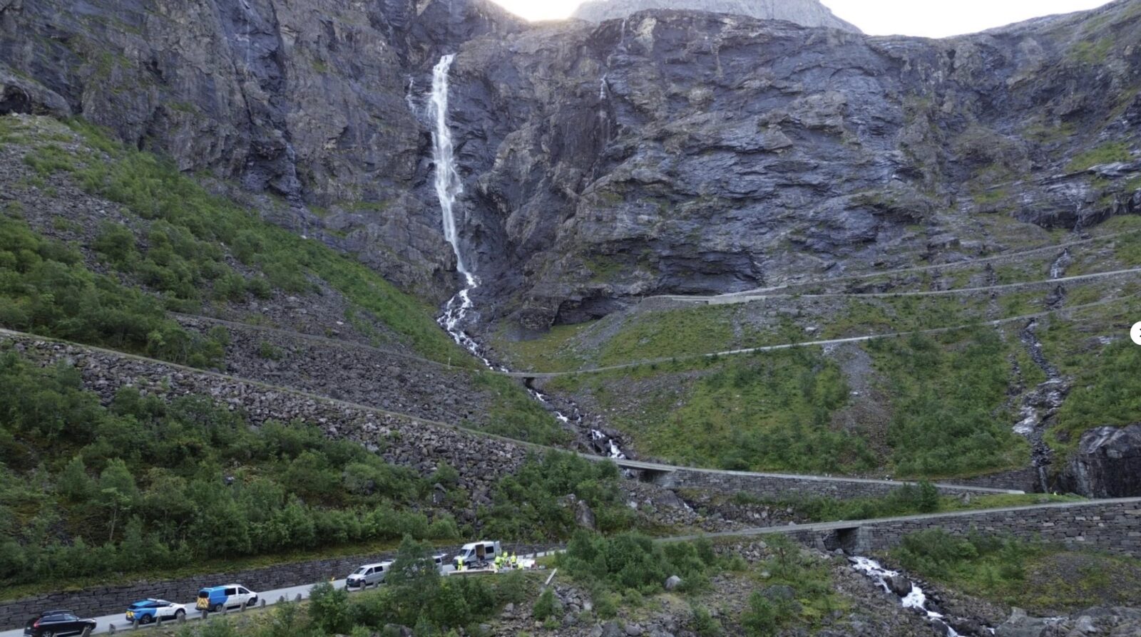
Trollstigen is one of the country’s most visited tourist routes. One million people visit this iconic road, with its 11 hairpin bends and spectacular views over the Istedalen valley, every single year. In June 2024, the national tourist route was closed for over a year following a rockfall that posed a significant danger to road users. Extensive safety measures were carried out, but the road also had to be closed for a period last summer.
The landslide sites at Kjelstadlinja and Grustaksvingen are under special monitoring. Møre og Romsdal County Council has commissioned Cautus Geo to set up a real-time monitoring system. The system alerts the county council if anything happens in the mountainous area.
Two radar systems
Since 1 September, Cautus Geo has had two different radar systems in operation simultaneously. This ensures automatic and continuous monitoring.
“We will be detecting both sliding movements and other movements within the rock mass itself, such as rockfalls,” says Lars Krangnes of Cautus Geo.
Both rockfalls and ground deformation are being monitored simultaneously. This is the first time this has been done in history. “For us, it’s a showcase project for technology we’ve developed ourselves,” says Krangnes.
The monitoring is initially set to continue until 1 October next year.
– We want to gain a better understanding of how the mountainsides behave over time. The radar system is part of a preliminary study. It is absolutely crucial for planning future, long-term safety measures,’ says site manager Kristian Bjørdal of Møre og Romsdal County Council.
An alarm has been set
The monitoring system is set up with an alarm. If any movement occurs on the mountainside, the alarm is triggered.
– Traffic is not automatically halted. The distances from landslides and rockfalls to the carriageway are too short for that, but monitoring can provide a better basis for the operation and maintenance of the stretch of road and reduce the risk of landslides and rockfalls on the open carriageway. We want to explore this. This will give us both a better knowledge base for future and permanent safety measures and better tools to stay one step ahead in protecting against rockfalls before rocks come loose from the mountainside, says Bjørdal.
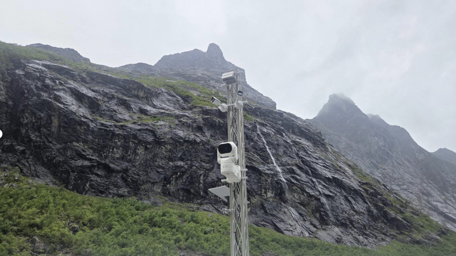
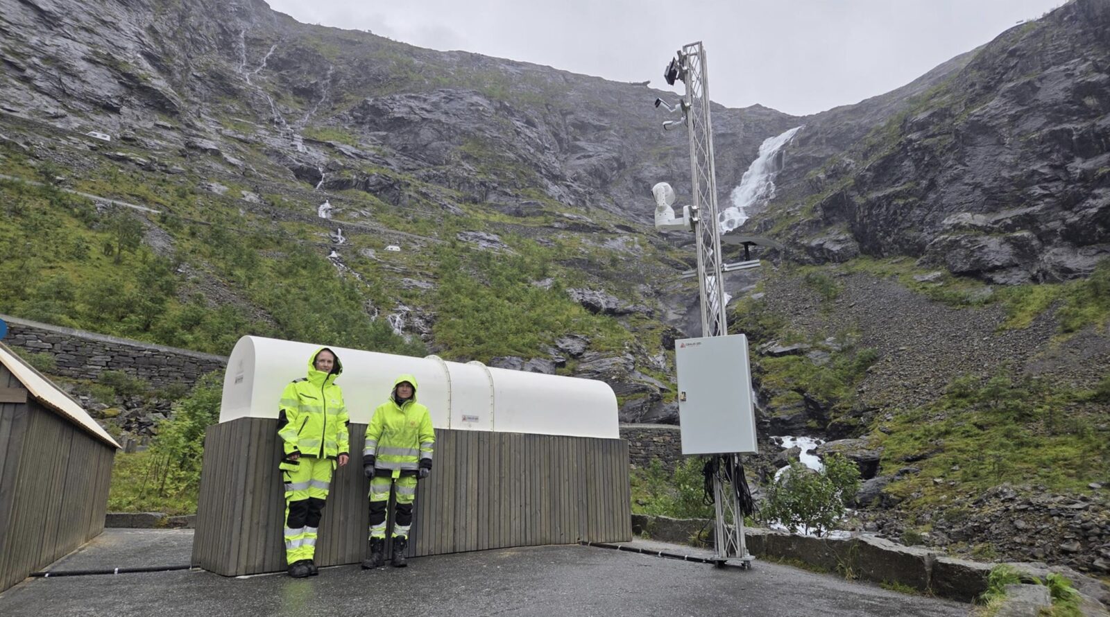
The systems consist of both radars and other advanced measuring equipment deployed in the field. This provides precise and consistent measurements.
Detachable power supply
Continuous monitoring relies on electricity. There is no electricity available on site. Cautus Geo often solves the problem of a lack of power supply by using solar energy, as in the case of monitoring in Antarctica.
– “Here, we have made use of technology from our sister company, Scanmatic. They have set up an alternative power supply based on a mobile solution on site,” says Krangnes.
Items included in the delivery
- In-house developed rockfall radar (as on County Road 7702 on Andøya)
- GBInSAR radar that monitors movements in the mountains (such as at Stavbrekka)
- Weather station (from Scanmatic at the top of Trollstigen)
- 3 cameras
- Cautus Web
- Power supply from Scanmatic